- Like Collect Share
-
0 0
- Category: Travel
- Published by: Avenza Systems Inc. ?
- Size: 66.5 MB
-
Permissions:
- Bluetooth device
- Access your Internet connection
- Access your Internet connection and act as a server.
- Access your home or work networks
- Use your location
- Use your webcam
- Use your pictures library
- Communicate with already paired Bluetooth devices
- Supported processors: x86, x64
- Language: English (United States)
- Learn more:
-
Notes:
* New in Avenza Maps 2.0.1 • Fixed an issue where some Map Store maps weren't loading correctly.
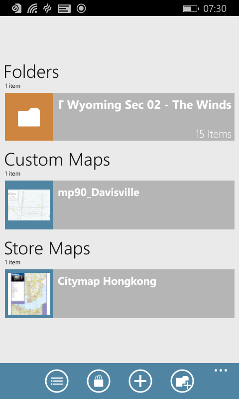
Avenza Maps
Features:
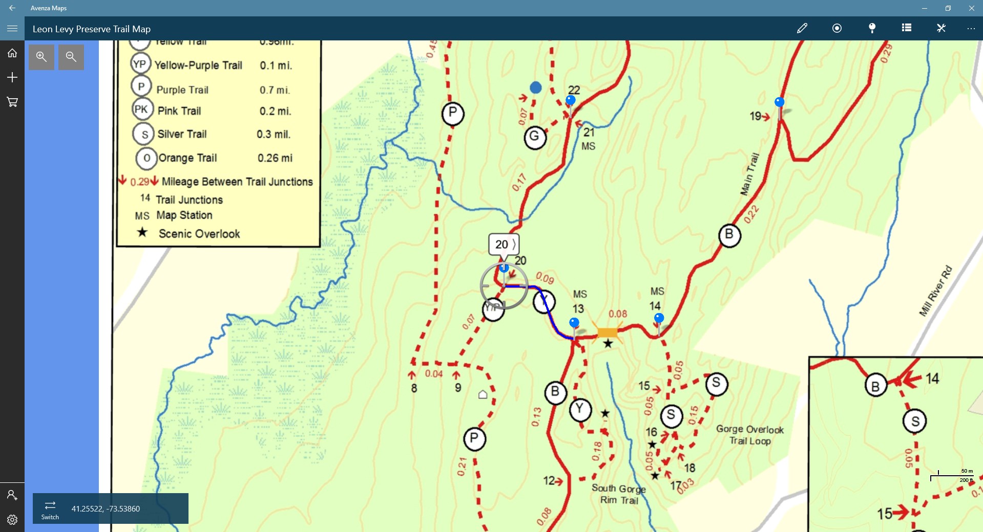
- Read geospatial PDF, GeoTIFF, and GeoPDF® maps
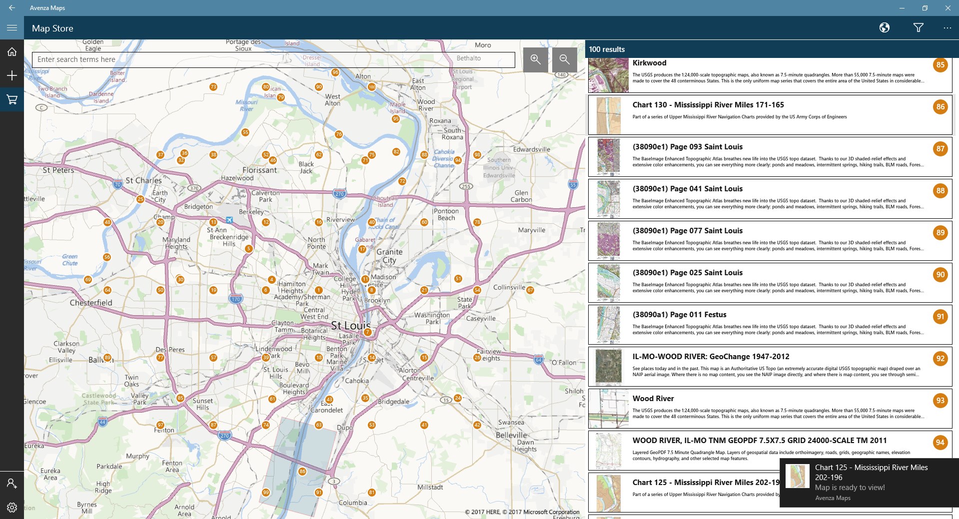
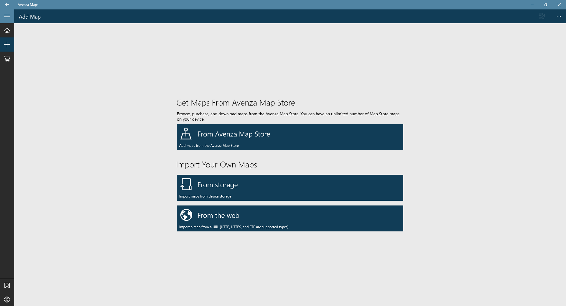
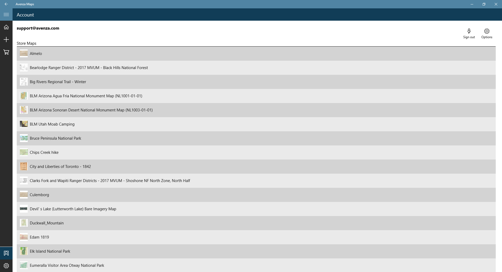
- Browse, preview and download free only professionally created maps from the Avenza Map Store, including 1:24,000 scale USGS topographic maps for the entire United States
- Quickly view, zoom and pan maps using gestures (pinch, drag and flick, double tap)
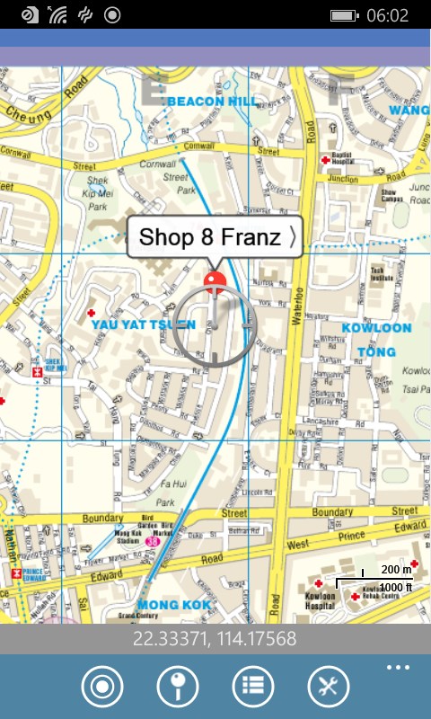
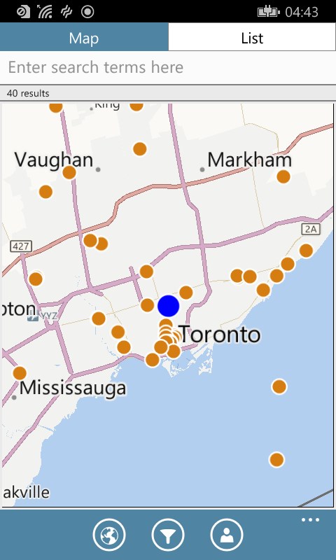
- View your location on a map using a device's built-in GPS
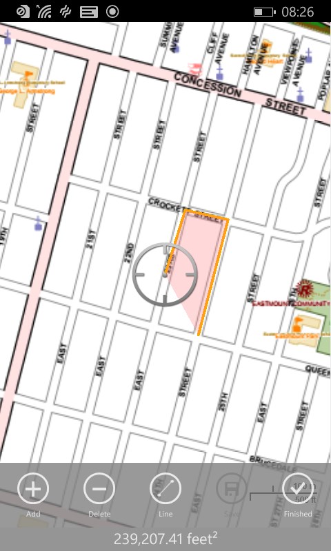
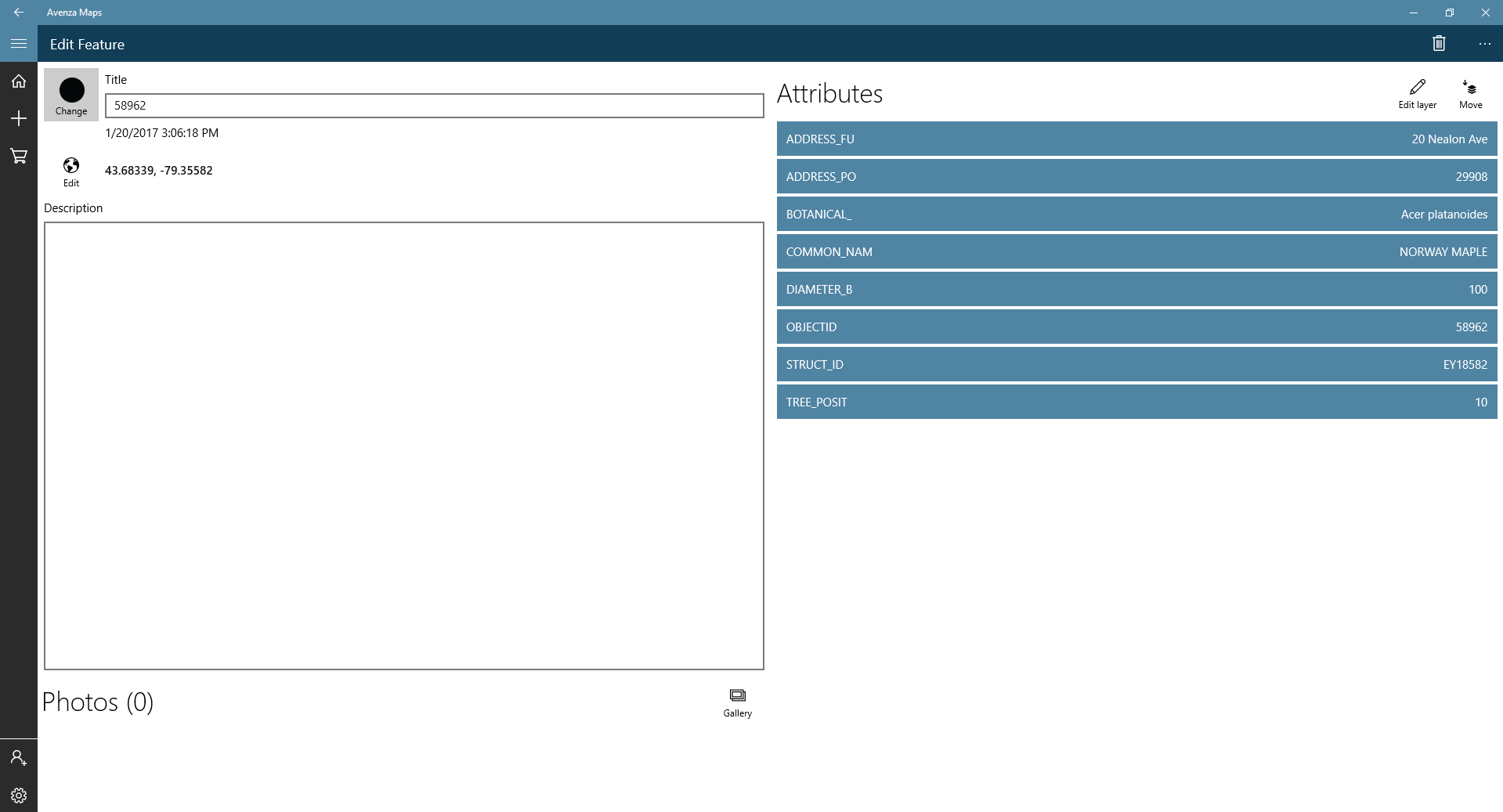
- Plot placemarks, change pin colors, position and label names, enter attribute data and notes
- Display coordinates in a number of systems including Lat/Long (WGS84), Lat/Long (Map Default), Northing/Easting, or Military Grid Reference System (MGRS)/United States National Grid (USNG)
- Easily find the coordinates of any location in the map; including the ability to type in a coordinate to search.
Similar Apps View all

Comments View all

33 comment
9 July 2017
The tools i want are in the app however learning to use them is annoying and the UI is terrible no way to go back when opening a menu have to re open the map again if you rotate there is no way to reset it back you just have to get it close. the distance to is awkward to use since it adds points at center of screen and you have to click a button in the lower right hand corner. it tells you the distance in feet only without converting to miles which yeah isn't hard but why would i wanna know that the distance is 20000 ft and not just under 4 miles. once you save a line i cant find a way to edit it. I've never used such a simple app before and gotten this stressed out trying to get it to do what i want. Maybe it has other uses that are great but for me trying to look at a nat geo map and measure some distances i rather just get the hard copy and a ruler.
7 July 2017
says paid not avalible. Not able to download any maps
4 July 2017
great program, would like to copy and print the maps?
7 May 2017
I use it for mountain biking and trail riding on my motorcycle. Can track my progress as a ride.
7 April 2017
Does all the basics. Please keep adding features! I'd love to be able to draw on the map with my surface pen!
1 April 2017
Won't load. Keeps returning to home screen.
17 March 2017
Washington state DNR has a great PDF map of Capitol State Forest and the MVUM for Deschutes National Forest in Oregon are super helpful. The maps are big but load fairly quickly and panning and zooming both work great.
17 January 2017
The new version is leaps and bounds better than their initial release. Works great!
5 January 2017
Looks good but can't sign in. When I try to register, I get "store server error". Not sure if I have previously set up account so I also tried "forgot password". I get no response.
12 October 2016
Being in the military in training environment, I love using this app as a quick navigation aid. It allowed you to upload pdf versions of maps into the program, so I can pull the installation map of the internet and pop it right in. The issue I have, we use MGRS in the military, and this is the default coord system for the uploaded maps. In order to get the app to display MGRS coordinates on the bottom, you have to buy a $99/year subscription.... Nah, I'll pass on that. So, I just downloaded another AP that I use to translate coordinates from lat/lon to MGRS, and I'll keep my $99.