- Like Collect Share
-
0 0
- Category: Action & adventure
- Published by: CNG Studios ?
- Size: 6 MB
- Supported processors: x86, x64, ARM
- Language: English (United States)
- Learn more:
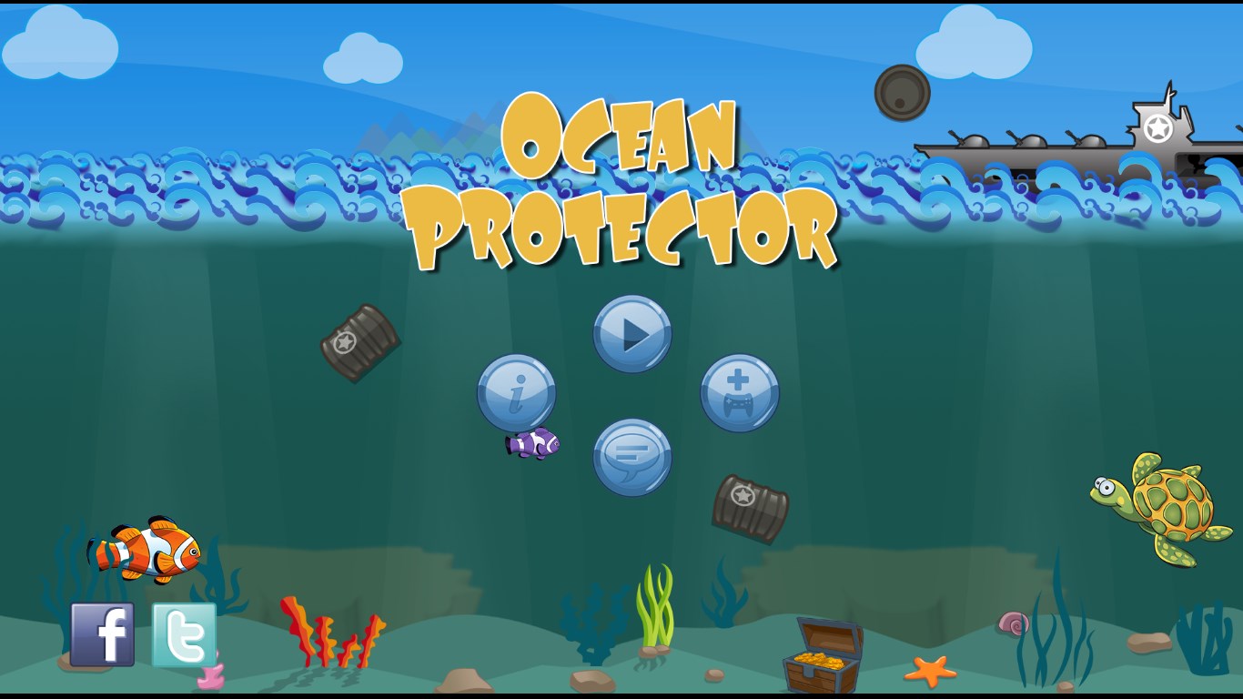
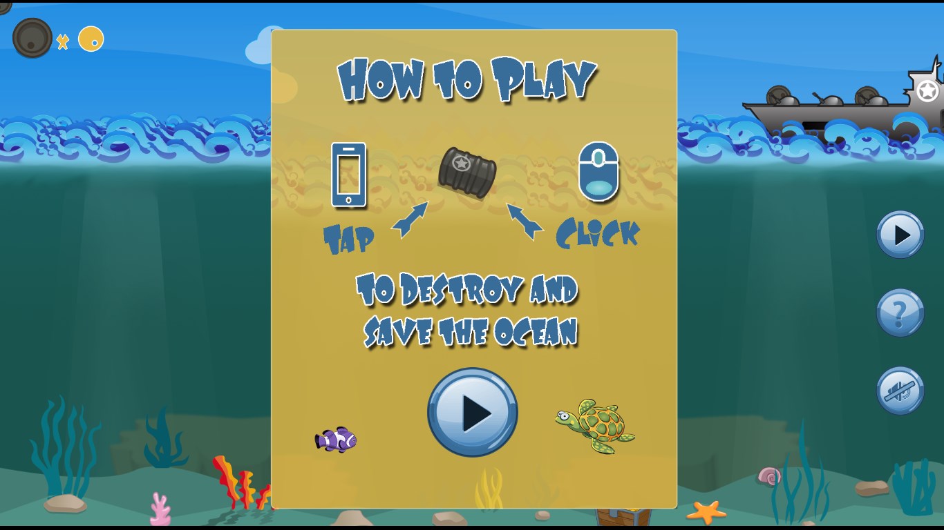
Ocean Protector
The ocean is under attack and needs your protection! Get the toxic barrels before they make it into the pristine ocean and kill all the fish! How many can you blow up before they reach critical wildlife?!
Features:
- HD graphics
- Environmentally friendly

Similar Apps View all


Comments View all

3 comment
5 March 2017
This game is a waste of space and time
9 March 2014
It was fun getting rid of the barrels.
2 March 2014
We had a great time